-

- Size
- 43 acres
- Description
-
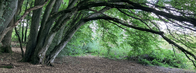
Platt Woods is ideal for secluded and peaceful walks among a variety of trees. You find oak, birch, scots pine, sweet chestnut, rowan, larch and wellingtonia. Visit in spring to enjoy the delights of blooming rhododendrons.
Covering a large area, there are four public footpaths that form a circular route, MR296, MR297, MR298 and MR257. If you prefer to explore off-grid, there are plenty of rambling paths for you to follow.
You'll find Platt Woods between Platt village to the west and south and Windmill Hill to the east. To start exploring, begin at the 19th century church of St. Mary's in Platt village. Walk through the graveyard and up St. Mary's slope. The nearest postcode is TN15 8NE.
The wood forms part of the Wealdway long distance walk. The entire route covers 82 miles and passes through the North and South downs.
Tonbridge and Malling Borough Council own Platt Woods. They are managed by Platt Woods management committee.
- Features
-
- public rights of way - MR296, MR297, MR298 and MR257
- variety of trees including wellingtonia
- rhododendrons
- dogs allowed
- Accessibility
-
- the main path is clear, wide and forms a circular route
- other paths may be narrow
- paths are unsurfaced and there are natural changes in level
- Parking
-
There is no car park at Platt Woods, and limited on-street parking.
- Map
- Grid reference
- TQ626571
- What3words
- ///blur.refers.trains

